Recently, I had opportunity to visit the Tehri Dam and Hydro Power Plant on the Bhagirathi River at Tehri in the State of Uttarakhand, India. From Delhi, the route to Tehri is via Haridwar, one of the holiest places of Hindus, and Rishikesh, one of the most sought after destinations for people seeking spirituality and peace, at the foothills of Himalayas. From Rishikesh, one has to travel by the serpentine roads among relatively low hills covering a distance of 97 Km to reach Tehri Project site.
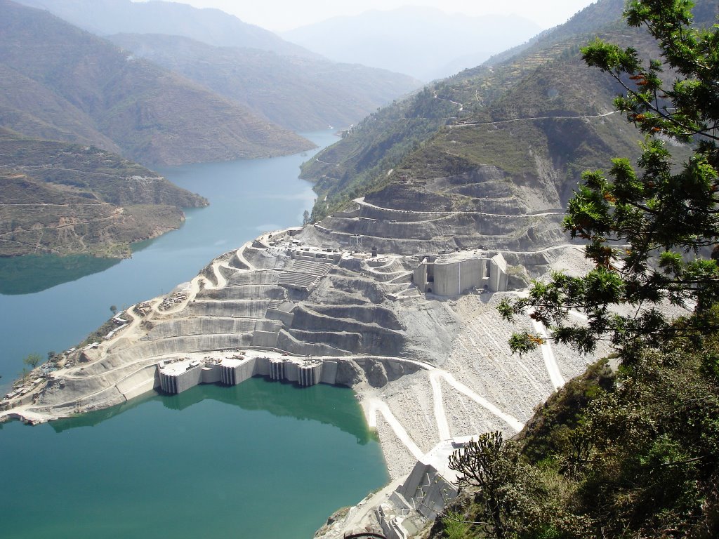
The first phase of the Dam and Power Plant was commissioned in September, 2006 by THDC India Limited as a joint venture of the Government of India and the Government of Uttar Pradesh. This is a 260.5 Meter high multi-purpose Earth and Rockfill Dam with the top level at 839.5 Meter, which is also first of its kind in India and one of the highest dams in this category in the world.
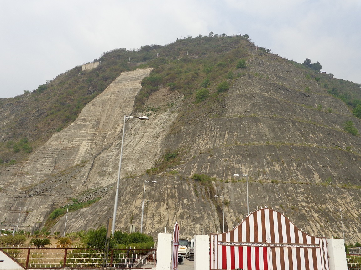
1. Entrance to Dam View Point
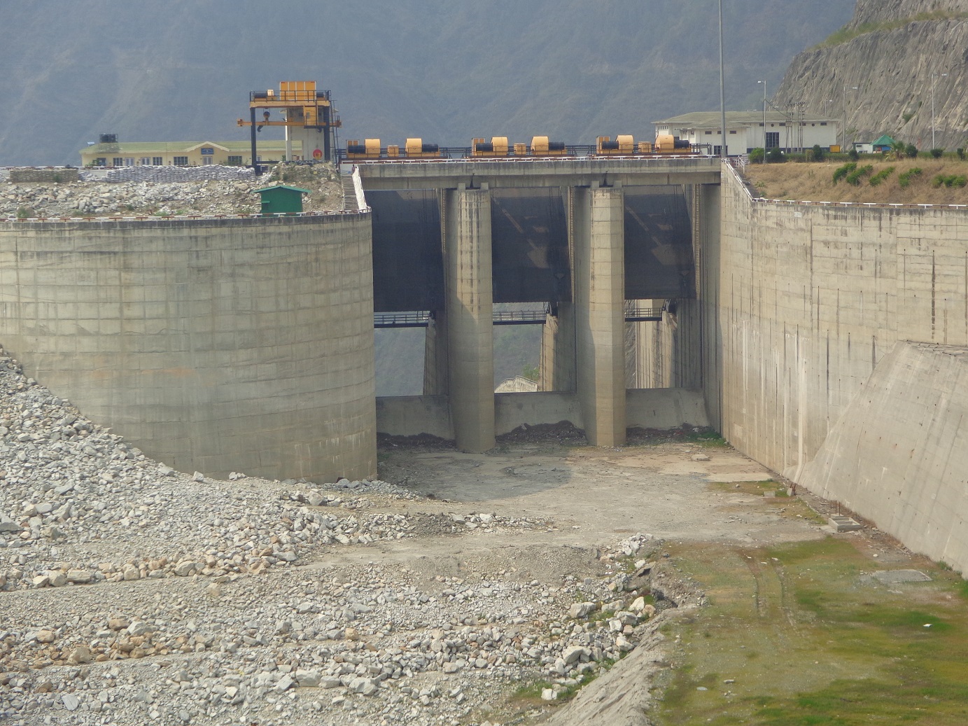
2. Spill Way Gates at the Dam site to release surplus water
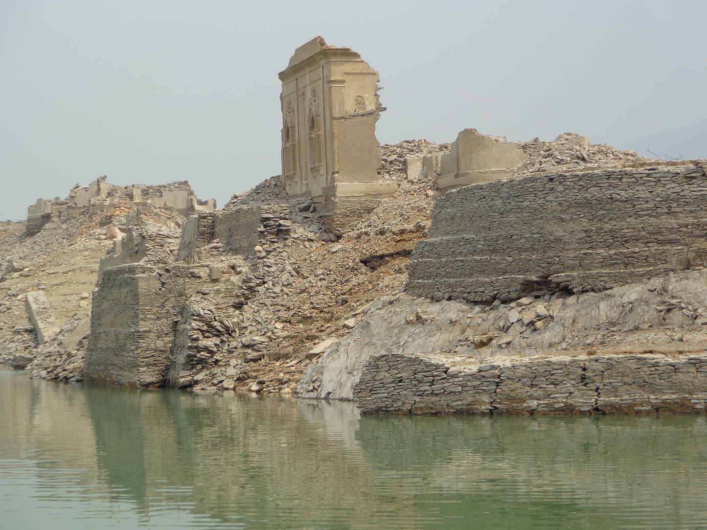
3. Remnants of erstwhile Tehri King's palace submerged in the reservoir
Water as a source of energy was discovered by man in ancient times and ever since Hydropower has been used to grind flour and perform several other tasks. Towards the beginning of the 20th century, small hydroelectric power plants were constructed in many countries by commercial companies mainly in the mountainous regions. In India, this distinction is held by the Shivasamudram as first Hydro-electric Power Station built in 1902 at Kaveri River mainly to supply power to Kolar Goldmines in Karnataka.
Hydropower plants are usually constructed near conventional dams. The potential energy of the storage water drives a water turbine and generator through a large pipe (the ‘penstock’) to produce electricity. The other common modes are Pumped Storage Plants and Run-of-the river Plants. The former is used to produce electricity to supply high peak demand by moving water between reservoirs of varying elevations while the latter Plants have small or no reservoir capacity and upstream water itself is used for generation of electricity.
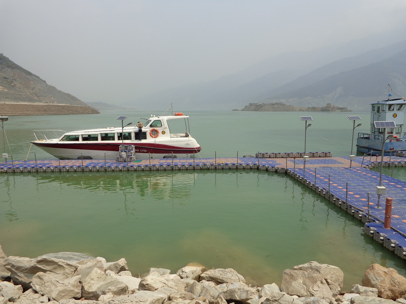
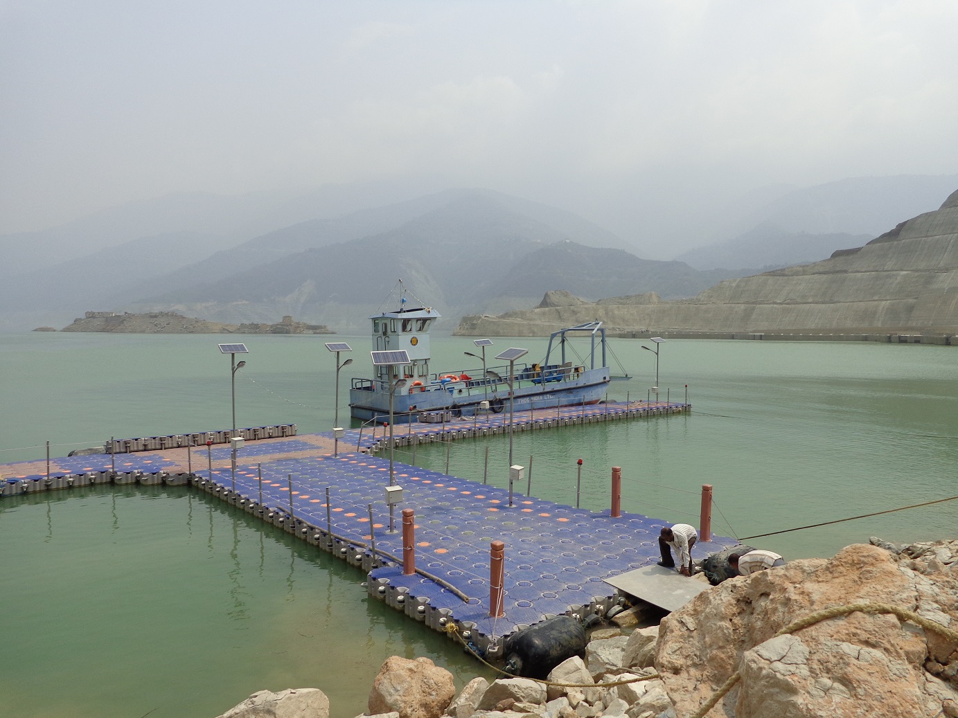
4. Floating Jetty in the reservoir area with two mechanized boats
5. Floating Jetty, carrier boat showing the stretch of reservoir and side bunding
In fact, the Tehri Dam project was visualized in early sixties and the design was completed in 1972 with a 600 MW capacity. However, the project was delayed due to various financial, environmental and social impacts. Around mid-eighties, the technical and financial cooperation was offered by the erstwhile USSR but uncertainties prevailed due to various issues including political instability. In 1988, Tehri Hydro development Corporation (THDC) was formed to manage the Dam and Power Project as a joint venture of the central and state governments with an equity ratio of 75% and 25%, respectively.
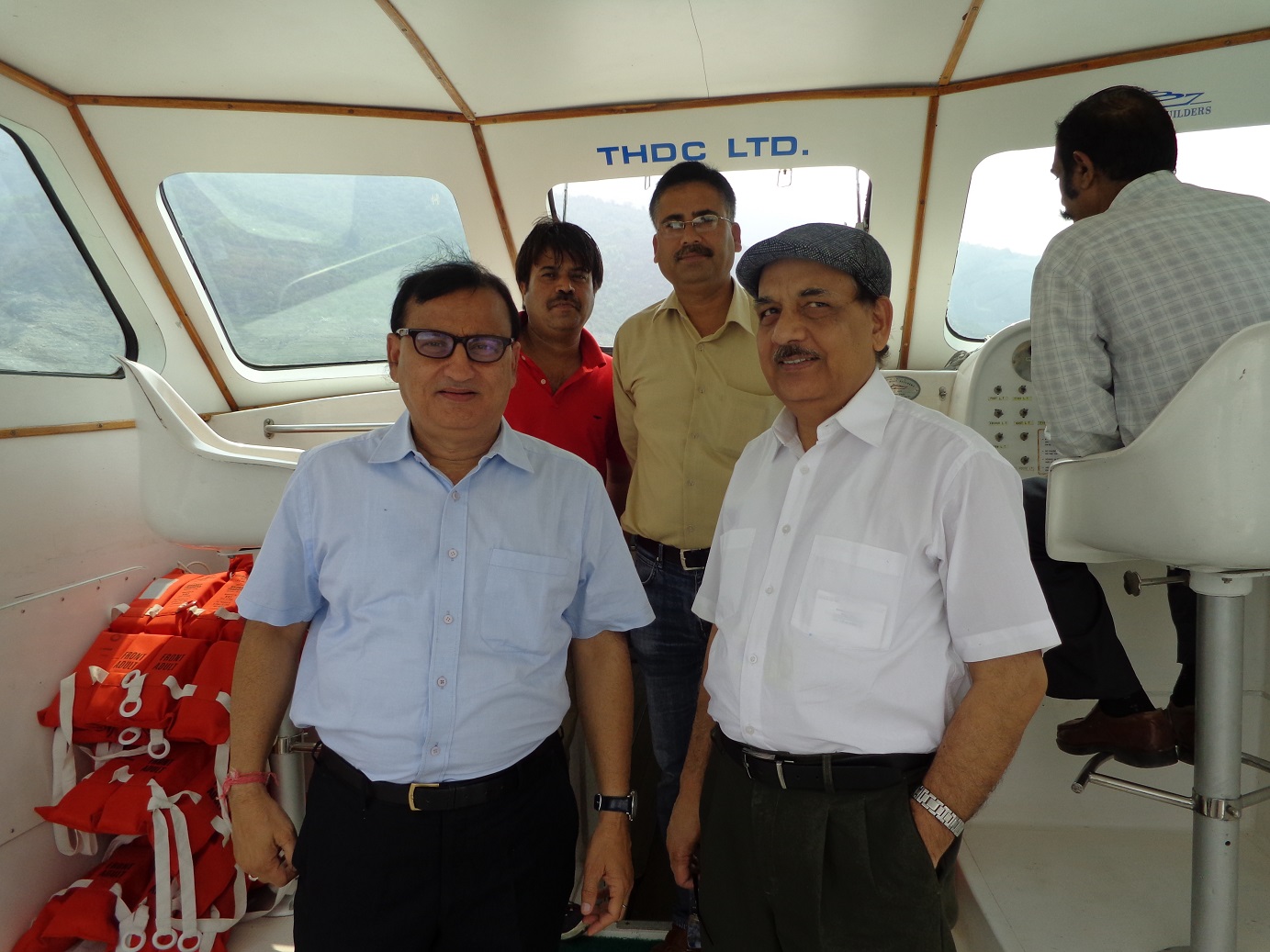
6. Author with officers and support staff of THDCIL inside the mechanized boat
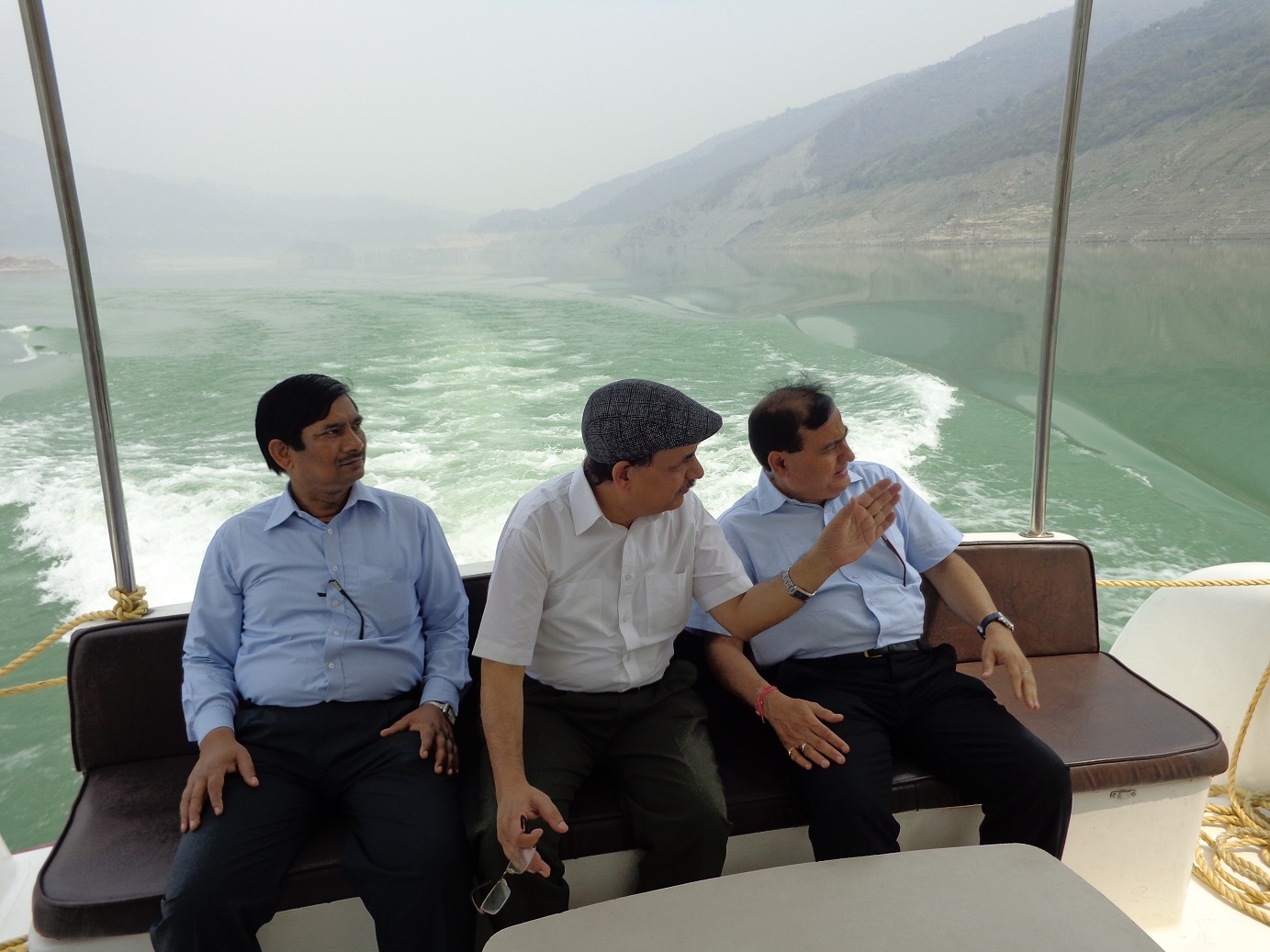
7. Author with accompanied officers sailing the reservoir area
8.A view of HRT inlets and Bhilangana River
Subsequently, in 1990 the project was redesigned to its current object and capacity. The construction of the Tehri Dam was completed and the Power Plant is totally underground with a capacity of 1000 MW commissioned in 2006-07. The second part of the project at Koteshwar with a capacity of 400 MW was commissioned in 2011-12 and work for the Pump Storage Power Plant with 1000 MW capacity is under progress with likely commissioning in 2017.
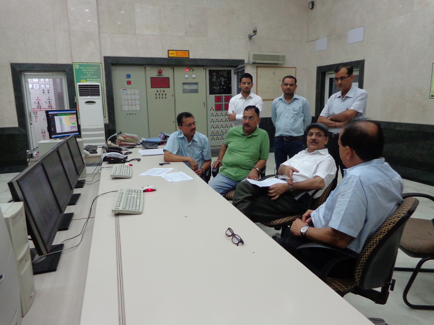
9. Control Room of the Main Hydro Power Plant
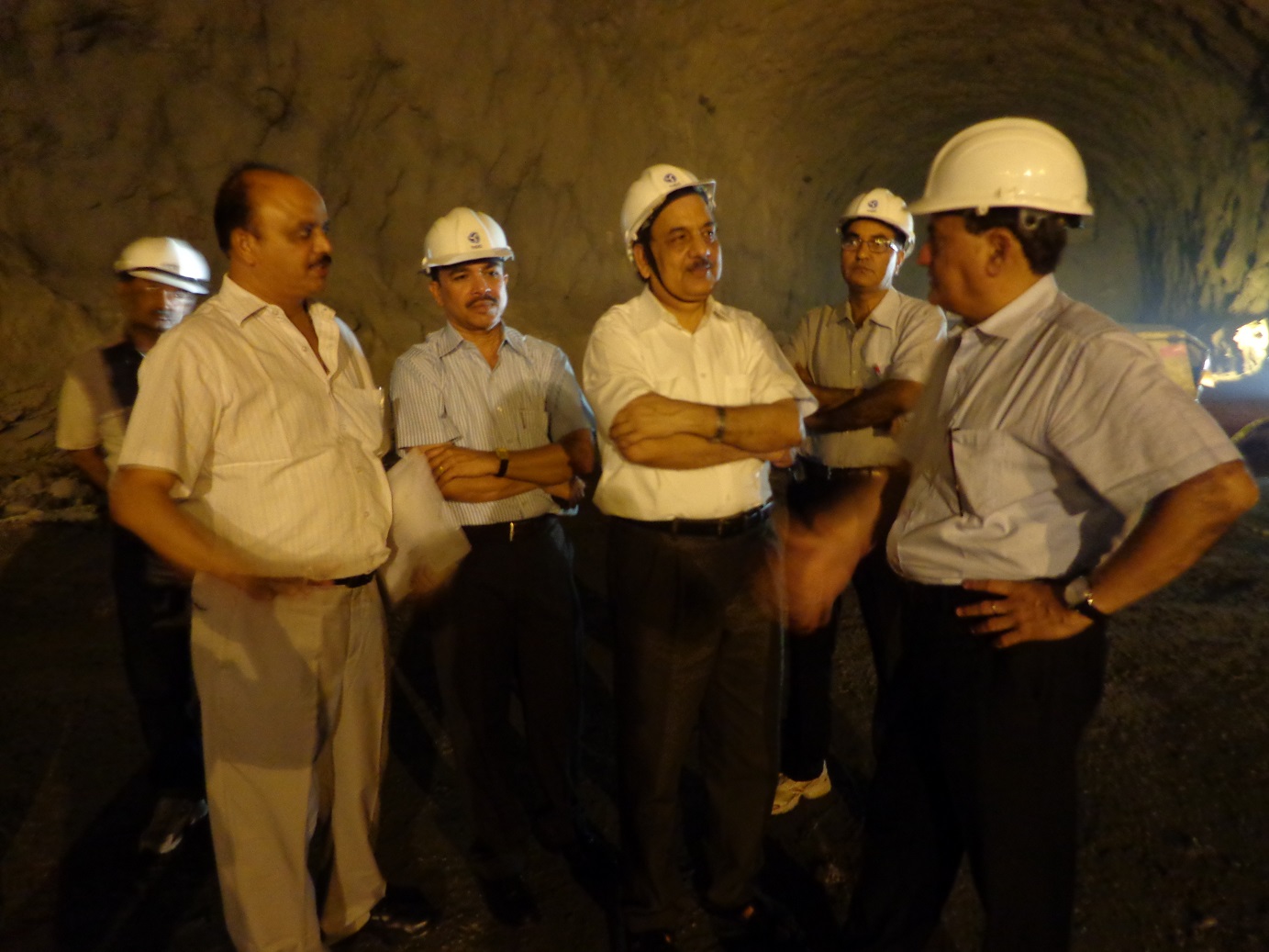
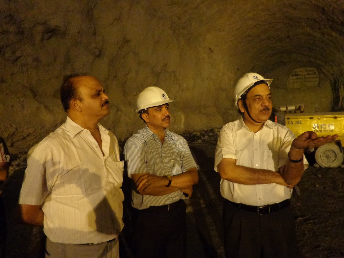
10. Author and others at Pump Storage Plant platform inside the tunnel under construction
11. Author and others at PSP construction site inside a tunnel
The project took so much time to materialize mainly because of the massive implications of rehabilitation and resettlement and environmental concerns. Anti-Tehri Dam protests continued for decades including a protracted legal battle. The movement was spearheaded by the noted Garhwali environmentalist Sunderlal Bahuguna. It involved relocation and settlement of about one lac people from the area as apart from the old Tehri town, about fourty villages faced total and more than seventy villages partial submergence. Apart from the human rights and environment concerns, seismologists too had serious concerns as the Dam is located in the Central Himalayan Seismic Gap, a major geologic fault zone.
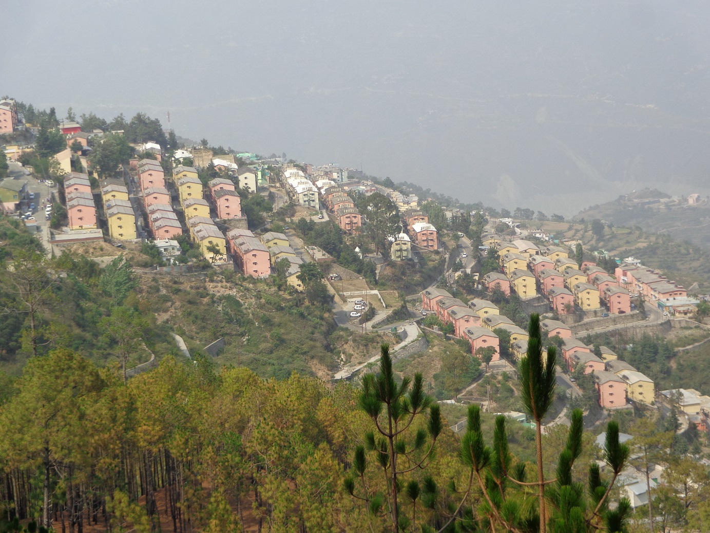
Handling these issues were an uphill task which the THDC India Limited successfully achieved over the years with the assistance and active cooperation of the federal and state governments. A new Tehri Town was built at height in the surrounding hills to house families affected by the submergence. Besides, those opted to move out were accommodated at nearby townships like Rishikesh and Dehradun. Environmentalist Sunderlal Bahuguna was accommodated at Koti, a small hillock, along the Bhagirathi River.
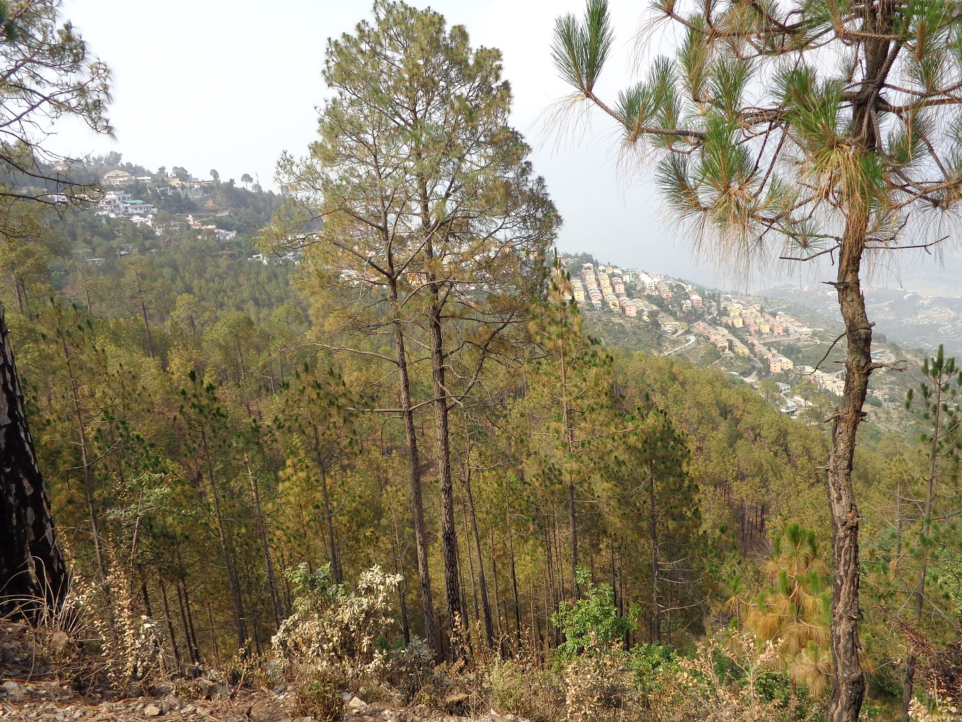
12. A Bird's eye View of the New Tehri Township
13. Showing a pattern of houses built at New Tehri by NHDC for relocation of displaced people
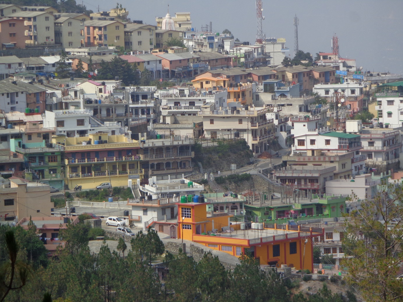
14. A close view of houses at New Tehri after relocation and rehabilitation of affected people
The Tehri Hydro Power comprises of Tehri Dam and Power Plant (1000 MW), Koteshwar Hydro Electric Project (400 MW) and Tehri Pump Storage Plant (PSP, 1000 MW). The Dam site is on the main course of the Bhagirathi River (main tributary of Ganges) with another River Bhilangana too joining on the other side. All the four units of 250 MW each at the main Plant are operational since 2006-07. Four units of Koteshwar Plant of 100 MW each are operational since 2011-12 and the construction works of the Pumped Storage Plant is in progress with anticipated completion year 2017.
During the monsoon season lasting from July to September, when the reservoir is full to its capacity, the electricity generation is full to its installed capacity. As the water level in the reservoir depletes in subsequent months, the power generation decreases accordingly. Besides, the Project offers irrigation to a vast area in the surroundings and daily drinking water to the far flung areas of Delhi, Uttar Pradesh and Uttarakhand.
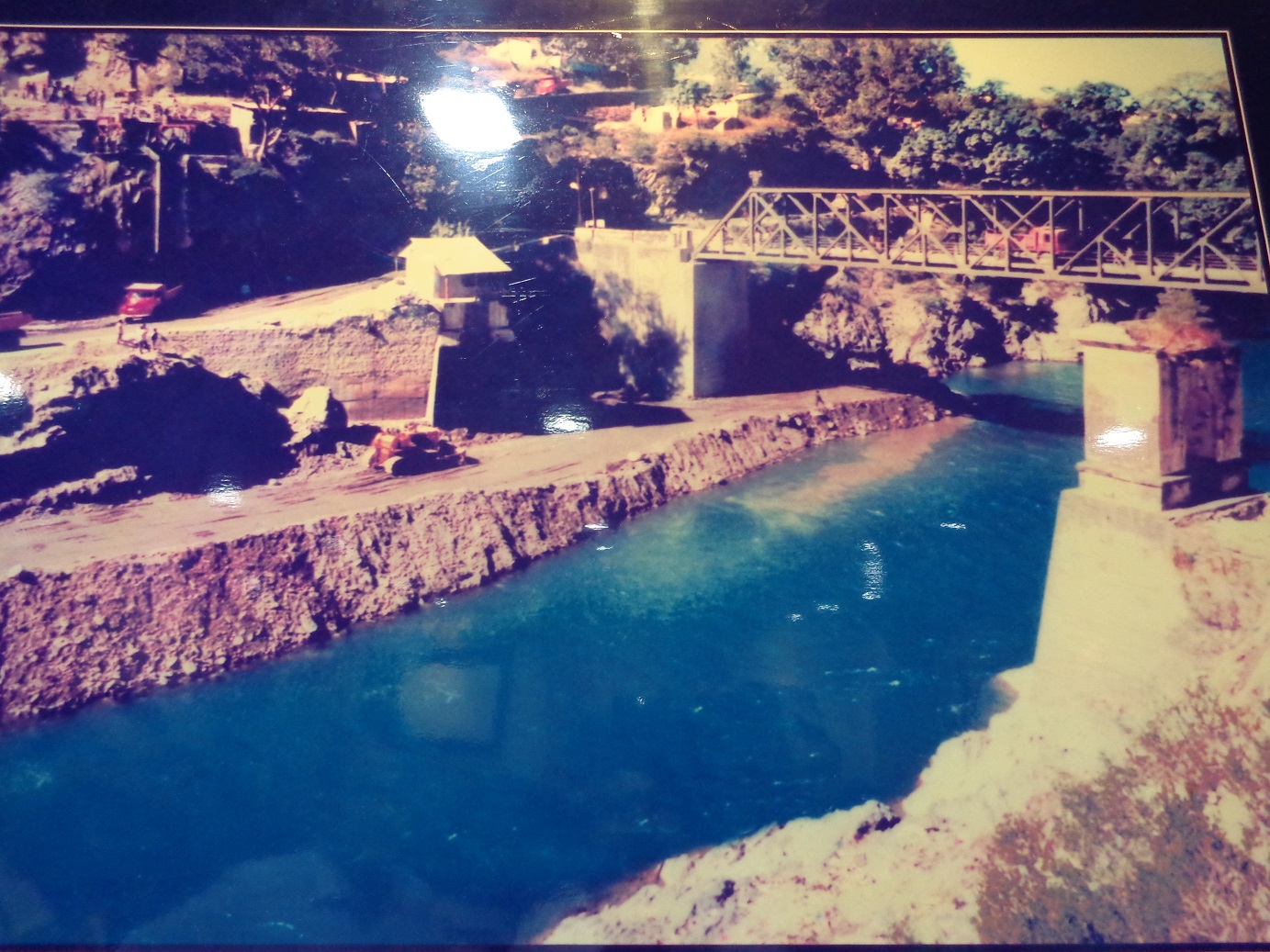
15. File Photo (Courtsy: THDC) - Bhagirathi River Bed and Bridge to Old Tehri in 1989 (submerged)
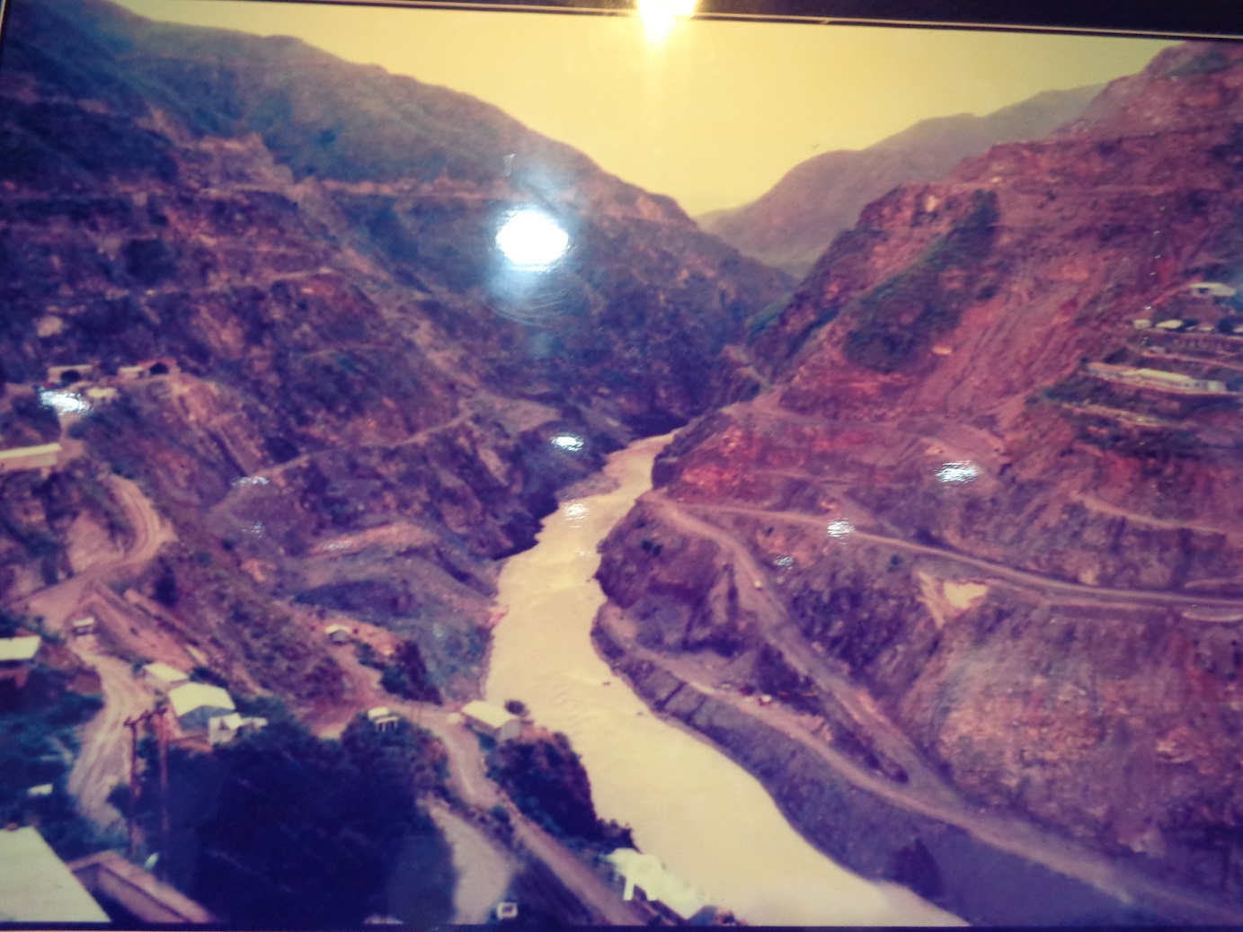
16. File Photo (Courtsy: THDC) - Gorge of Tehri Dam and River Bhagirathi from upstream in 1989
Clearly, the years of struggle and concerted efforts have led to the Project becoming a reality. It has finally emerged as a landmark and pride of Garhwal region as well as nation. Apart from the Tehri Project Complex, the area is also worth visiting for its scenic beauty with serpentine road among fairly high hills, deep valleys and gorges with rich and thick vegetation mainly comprising of trees such as Sal and Chir. It was heartwarming to see the common sparrow and langurs in abundance which are so difficult to find in cities and plains these days.
All Photographs (c) jaipalsingh
